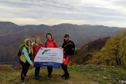
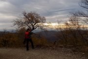
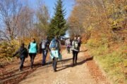
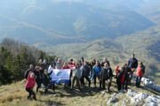
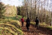
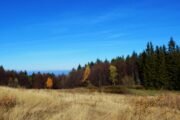
Join us on a one-day hiking tour of one of the most beautiful mountains in Western Serbia - Bobija! 👣💚
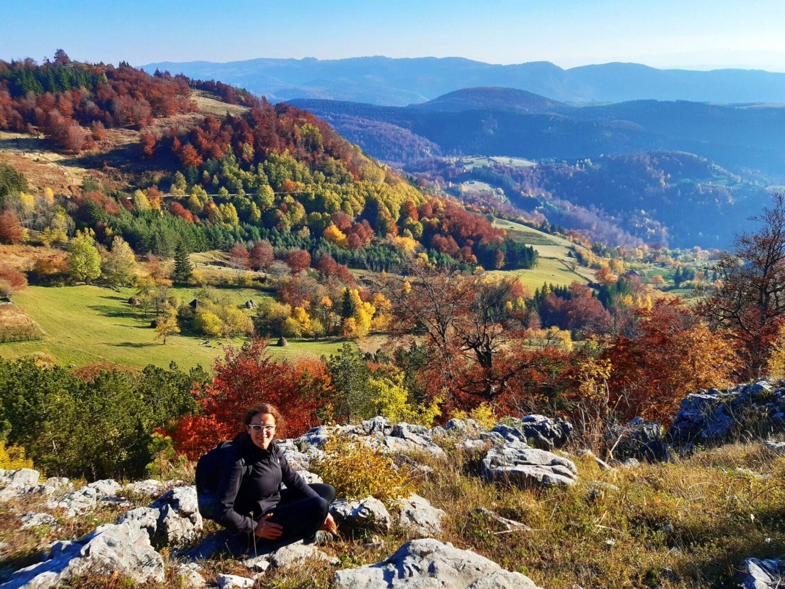
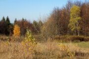
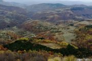
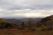
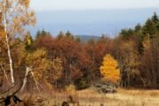
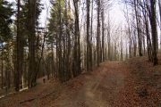
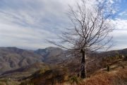
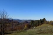
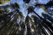
🌳 Bobija is located in the mountainous area of Azbukovica, between the Drina River and the Valjevski Mountains. Its highest peak, Tornička Bobija, rises to 1272 m. Dense beech and conifer forests, as well as numerous viewpoints and dramatic canyons of the rivers Trešnjica, Tribuća and Ljuboviđa give this mountain a special charm. 🌲
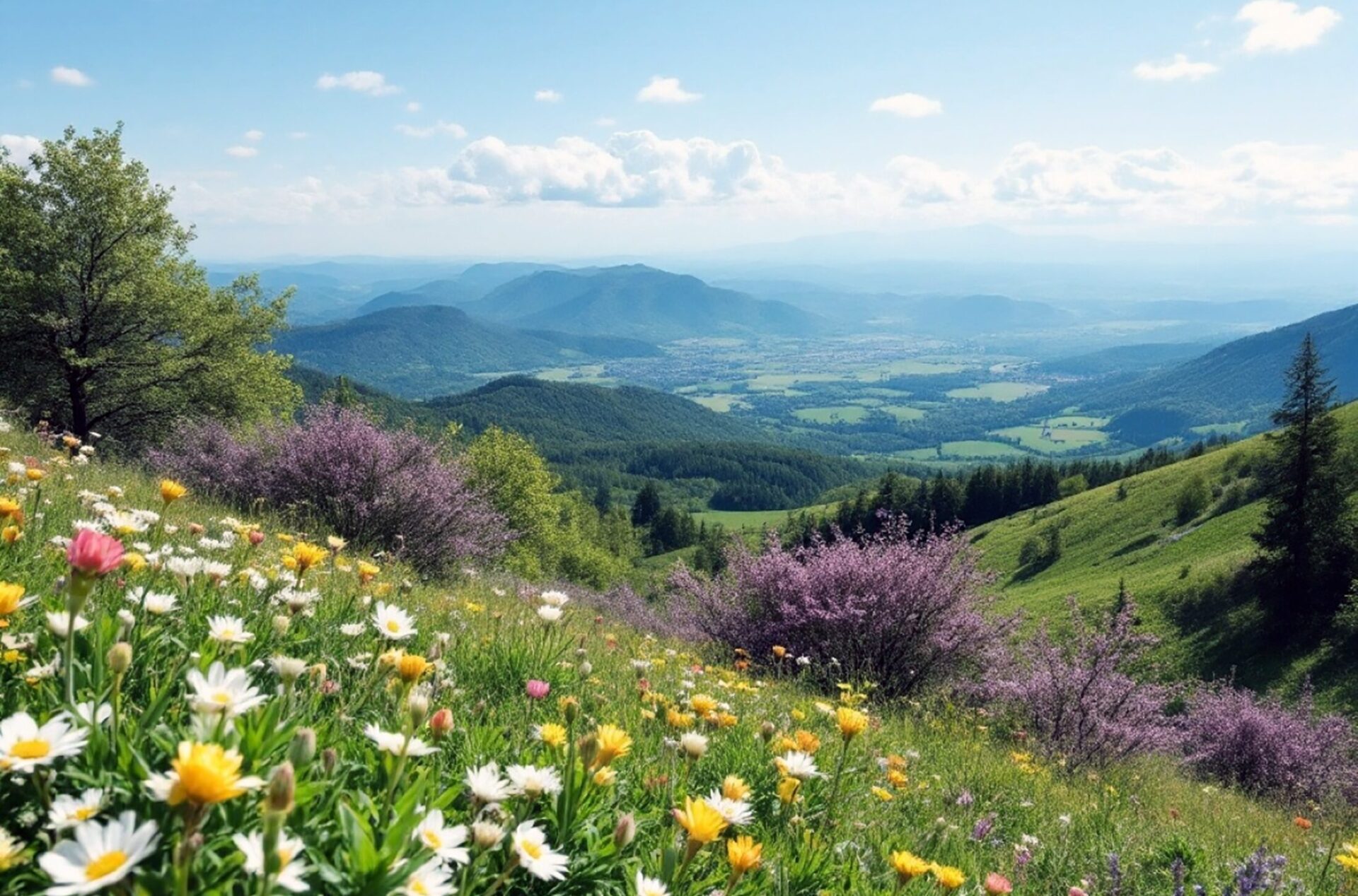
✨ On this holiday tour, we will enjoy spring colors and fresh air while exploring the natural beauty of this Podrinje mountain. 🌼
📅 Make the most of Easter Monday for an active getaway in nature!
| DEPARTURE LOCATION | The parking lot at the municipality New Belgrade | |
| DEPARTURE TIME | 7:00 a.m. | |
| INCLUDED IN THE PRICE | Transportation from Belgrade
Hiking tour with a licensed hiking guide Accident insurance Tour coordinator |
|
| NOT INCLUDED | Lunch
Other individual costs |
Additional notes:
- Equipment: Deep hiking shoes with Vibram soles or sports shoes with stronger soles, and adequate clothing according to the weather conditions. A backpack with the necessary mountaineering equipment for a one-day action. Be sure to bring enough water (1.5 l), one meal, energy bars, fruit, a spare t-shirt, long pants or a tracksuit.
- Information about a hiking trail: circular trail, easy, length about 12 km, duration 5 hours, ascent/descent about 400 m.
- The tour is organized for at least 18 registered passengers.
- Own transportation: If you come with your own transport, the tour price is 2700 dinars.
- Accident insurance: in order for this type of insurance to be active, you need to send us your personal number (JMBG) when registering.
- In case of an insufficient number of registered passengers or unfavorable weather conditions, the deadline for notification of the postponement or cancellation of the tour by the organizer is 2 days before departure.
-
Trip cancellations by passengers:
- In case of cancellation of the trip by the passenger, 5 or more days before the tour date, the Agency retains the amount of 20% of the reservation costs.
- In case the traveler cancels the trip less than 5 days before the trip, the agency reserves the right to the entire amount. In case of replacement by another passenger who is found either by the passenger himself or by the Agency, 90% of the paid amount is returned to the passenger.
- In case of illness of the passenger and cancellation up to 3 days before the tour, the paid money can be returned or the amount can be transferred for another tour organized by the Agency, and the traveler is obliged to send medical documentation about the illness in writing. In case of illness of the traveler and cancellation less than 3 days before the tour, in addition to sending medical documentation about the illness, the traveler is obliged to compensate the Agency for the incurred costs (transportation and travel organization costs), and part of the money can be refunded.
Mount Bobija is the roof of Azbukovica
Azbukovica is a narrow and long area, a hilly and mountainous area in western Serbia, on the border with Bosnia and Herzegovina. It is located between the right bank of the Drina, Sokolske Mountains, Jablanik, Medvednik and the Trešnjica canyon. The landscape is a realm of untouched nature and rare beauty. The center of the region is a small town Ljubovija.
In the canyon of the river Trešnjica there is one of the last two litters of griffon vultures in Serbia, and a rare species of juvenile fish spawns in the river itself.
The river Trešnjica springs on the southwest side of Povlen at an altitude of 1185 meters, it flows into the Drina near Gornja Trešnjica at an altitude of 180 meters. It is 23 kilometers long. In the middle course, it flows through a picturesque canyon close to 6 km long, which is cut into an 800-1000 meter high area. In the canyon, Trešnjica receives the largest left tributaries, rivers Sušica and Tribuća. Tribuća is about 7 km long, springs below Tornička Bobija at an altitude of 1180 meters, flows south and with its lower course separates the Boskovac plateau in the west from the Gornje Košlje area in the east.
Bobija is 140 km away from Belgrade, 30 km from Ljubovija. Bobija is adorned with coniferous and beech forests, pastures and glades. The largest villages are Savkovići (Donji and Gornji Savkovići) and Gornje Košlje, which also includes numerous hamlets. Due to the diversity of relief, flora and fauna, the terrain is perfect for mountaineers, hunters and hikers.
How did Mount Bobija get its name?
The area of Azbukovica was inhabited in prehistory, as evidenced by the findings from tombs (tumulus) in the village of Lonjin and the town in Rujevac. Prehistoric tumulus represent a specific form of tombstones in the period from the beginning of the 3rd to the end of the 1st millennium BC.
In the people, these monuments were called mounds and "bobije." It is assumed that Mount Bobija was named after them.
The organizer of the tour is the travel agency Explore Balkans doo. With this program are valid General conditions of travel organizer and Rulebook on conducting tours by Explore Balkans doo.
According to Article 79 of the Law on Tourism, protection is not provided for one-day tours in terms of travel guarantees.
Belgrade – Valjevo – Debelo brdo
- Departure from Belgrade from the parking lot of Novi Beograd municipality at 7.00
- Journey to Valjevo and Debelo Brdo. On the way coffee/breakfast break of 30 minutes.
- Arrival at the starting point of the hiking tour.
Tornička Bobija and viewpoints hiking tour
- Short preparation for the hiking tour, start around 10 am.
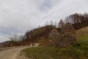
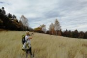
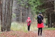
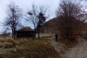
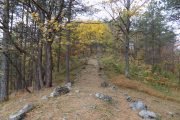
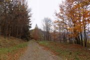
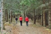
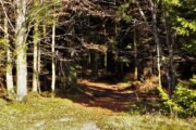
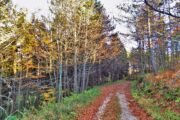
- The hike starts from the forest house to the mine, then to the top Tornička Bobija at 1272 m. The trail is partly a macadam road, then through a beech, coniferous forest and meadows with beautiful views of the surrounding mountains.
- End of the hike around 3 p.m.
- After the tour, on the way back to Belgrade, it is possible to arrange lunch at a nearby restaurant.
- Information about a hiking trail: circular path, easy, length about 12 km, duration about 5 hours, ascent/descent 400 m.
- The planned return to Belgrade is till 9 pm.

